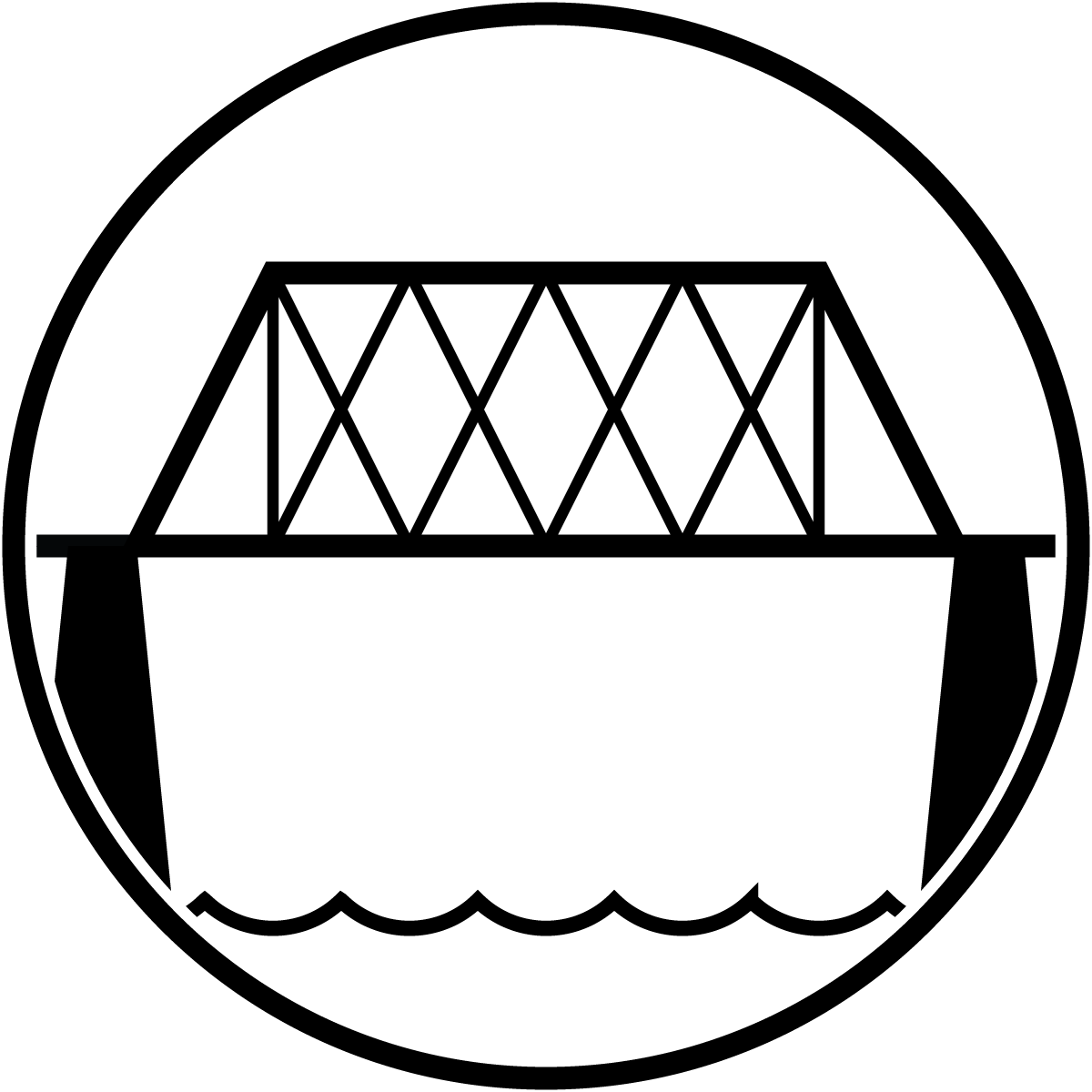
Bridge

Bridge (Brown Variant)
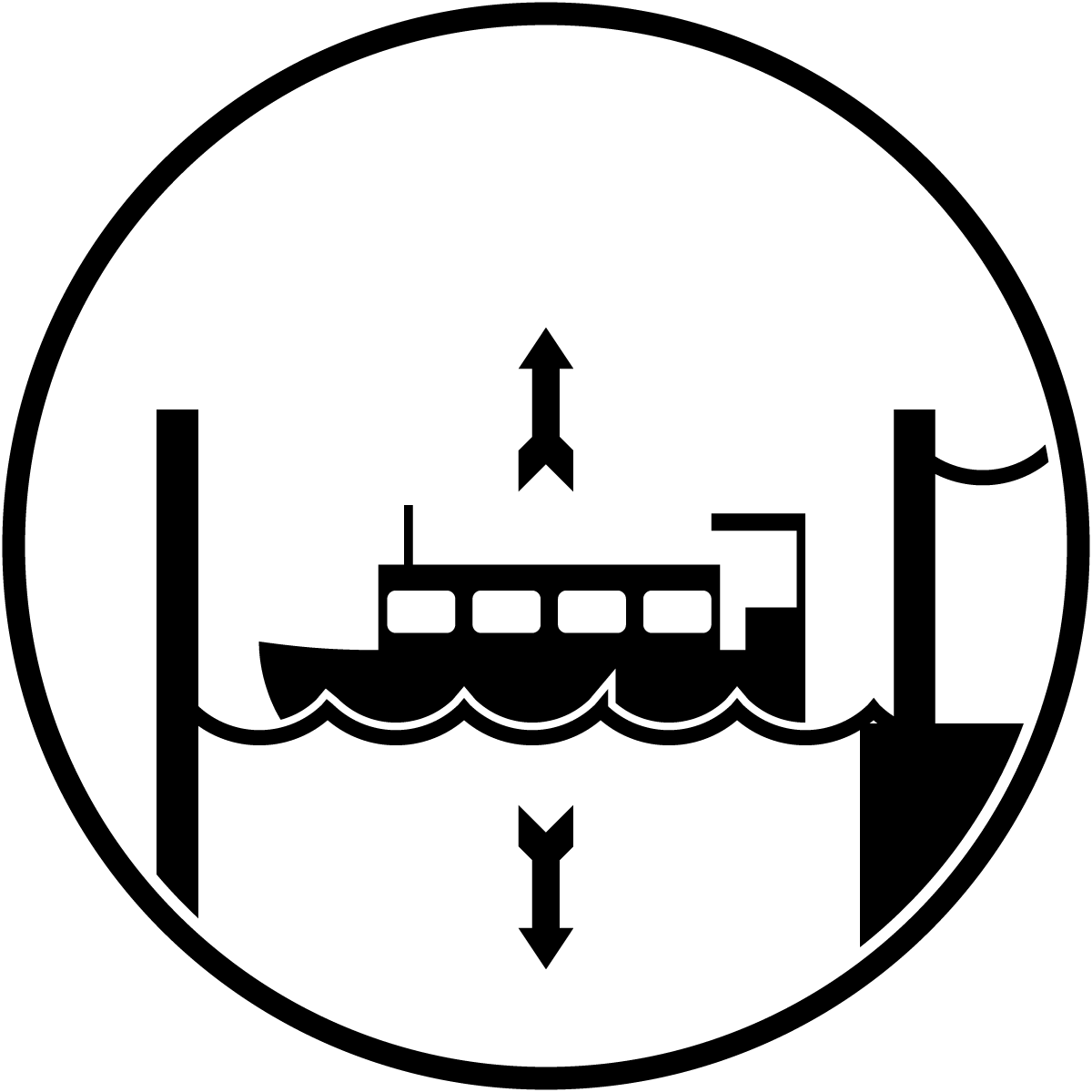
Canal Lock
Canal Lock (Brown Variant)
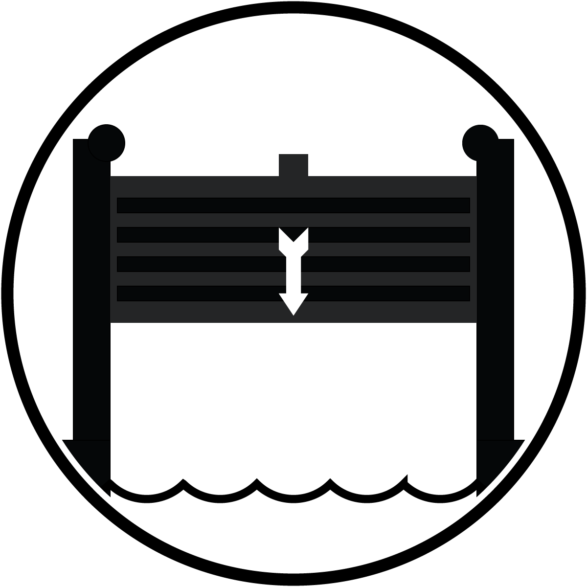
Guard Gate
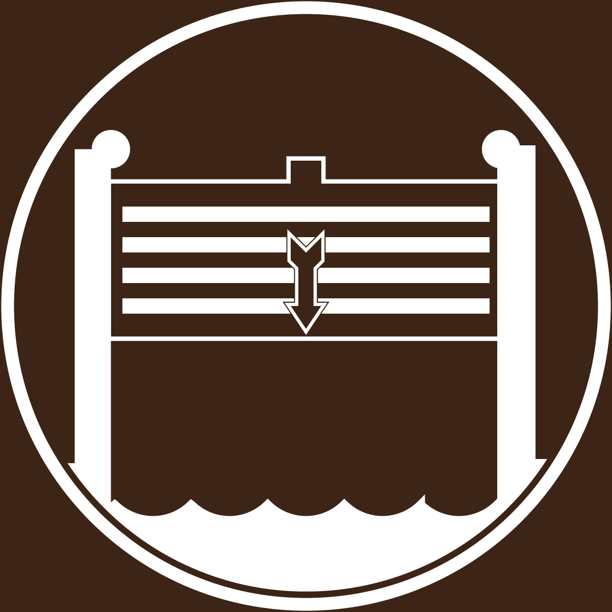
Guard Gate (Brown Variant)
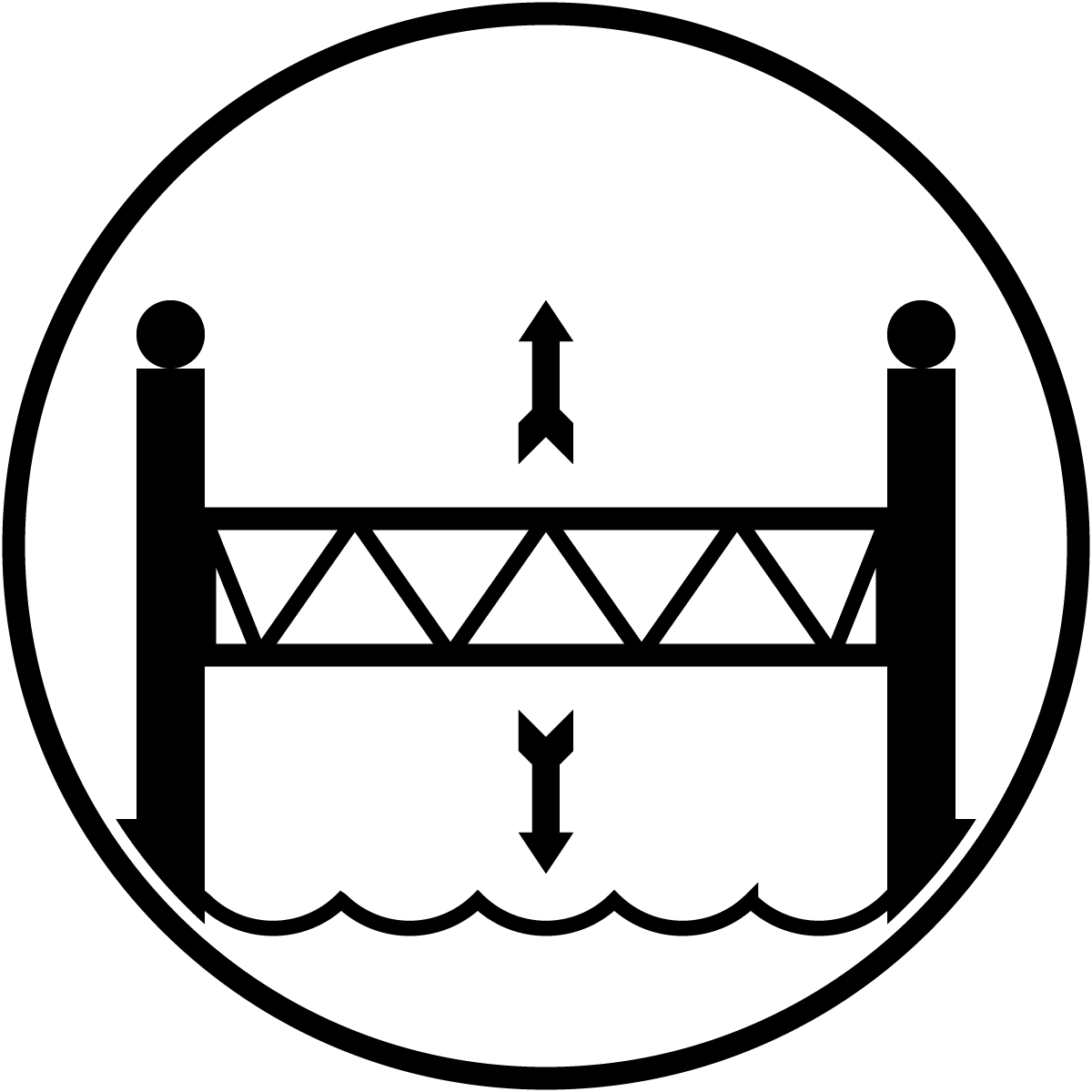
Lift Bridge
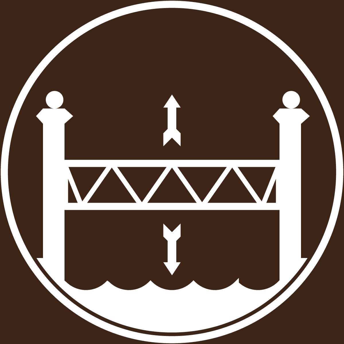
Lift Bridge (Brown Variant)
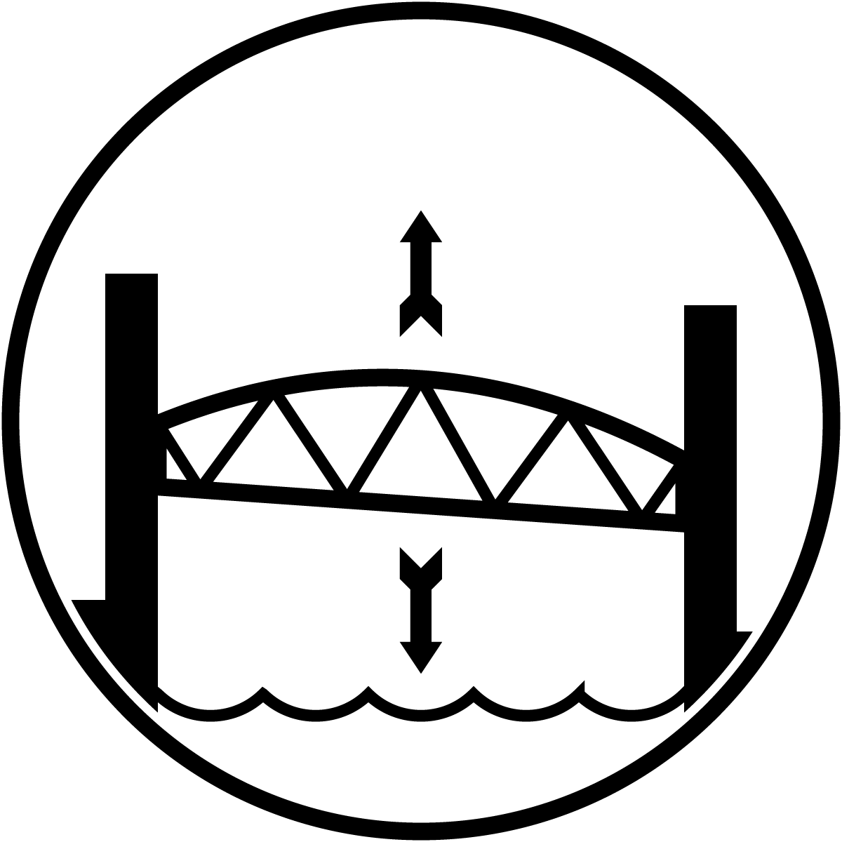
Lift Bridge (Fairport)
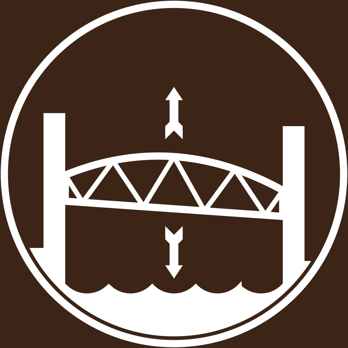
Lift Bridge (Fairport) (Brown Variant)
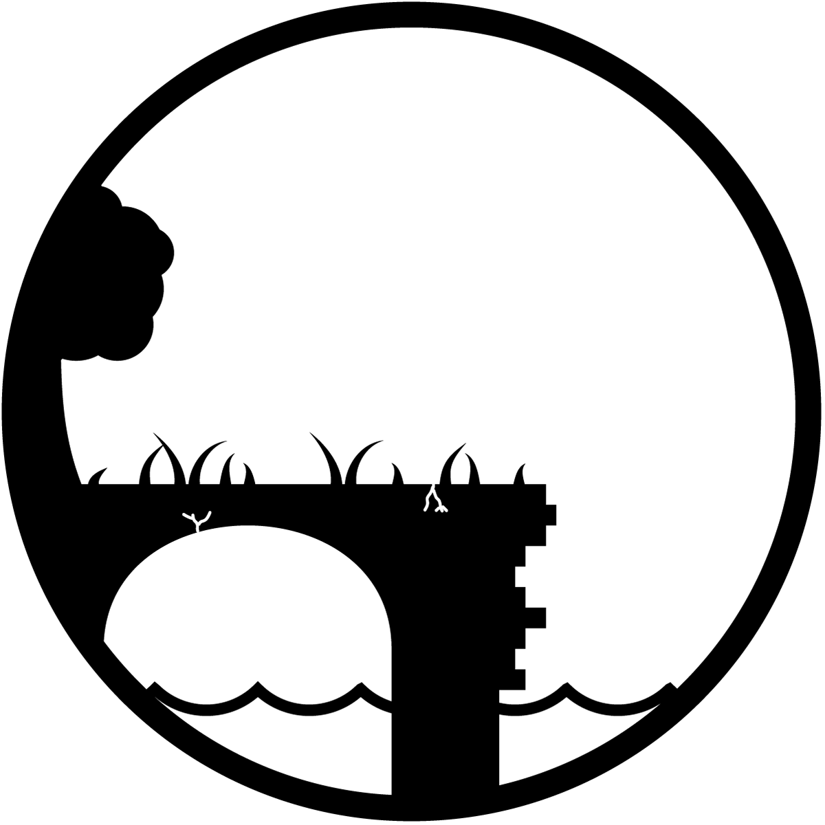
Old Aqueduct
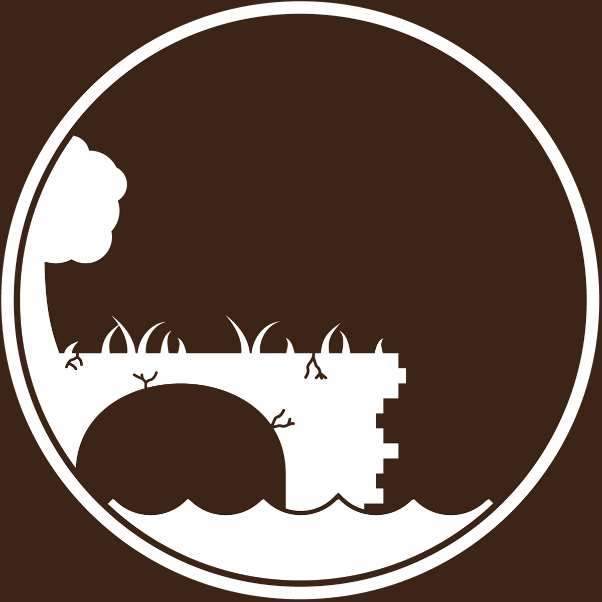
Old Aqueduct (Brown Variant)

Old Canal Lock

Old Canal Lock (Brown Variant)
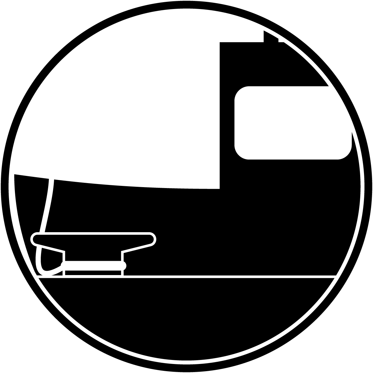
Town/Village/City Marina
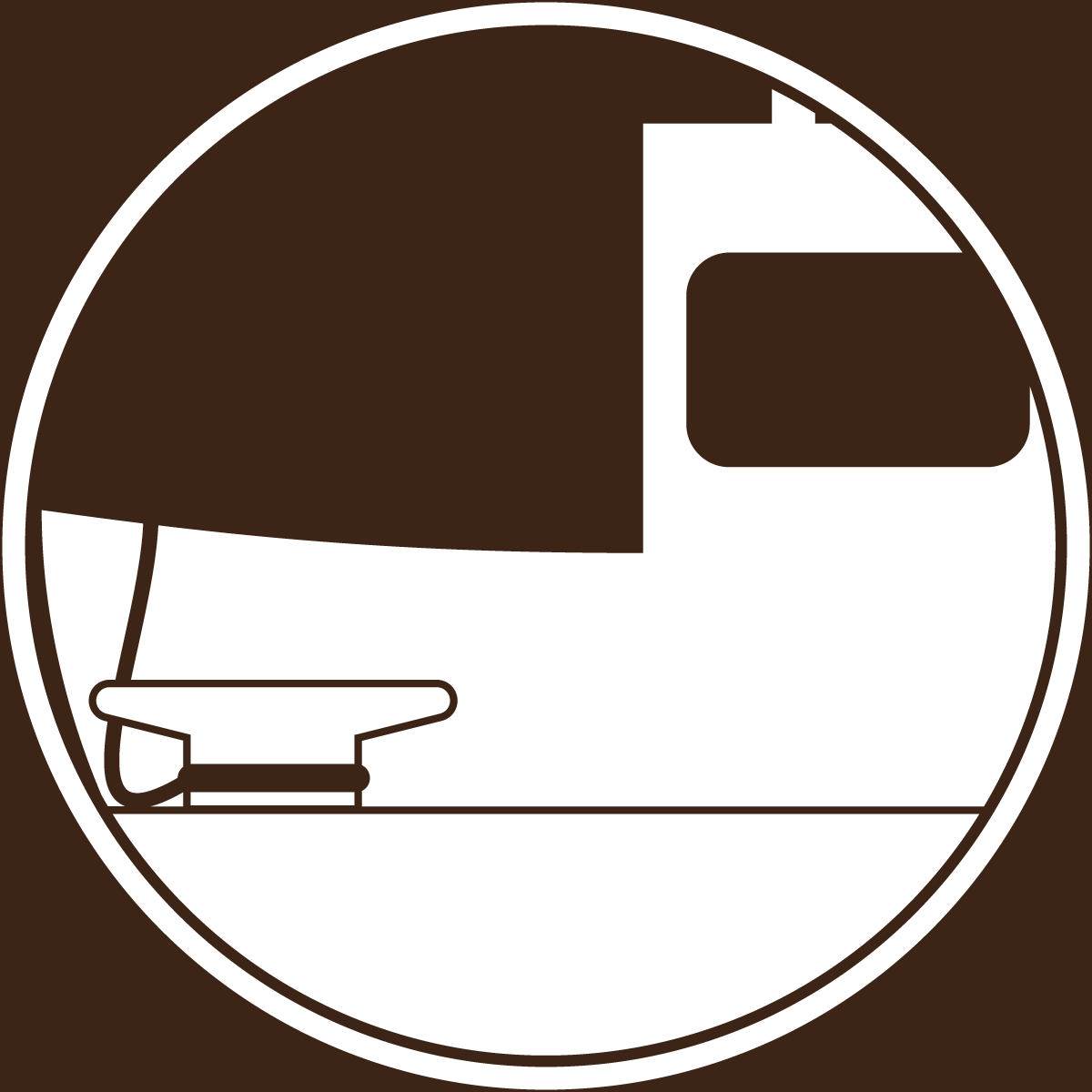
Town/Village/City Marina (Brown Variant)
I created pictograms based off the Erie Canal. These picograms were designed to be easy to understand, plus incorporate some historic elements to it. They were designed with both a black and brown variant where the black variant is against a white background while the brown variant is white with a brown background to it.
Mockups
I created mockups to show examples of how the pictograms can be used. Here's how these pictograms can be used:
Map
The pictograms can be used for mapping for boaters. Either on a app or website, when a user clicks on an pictogram, they will see information about the pictogram they clicks/taped on such as phone number, hours, milepost, and more!
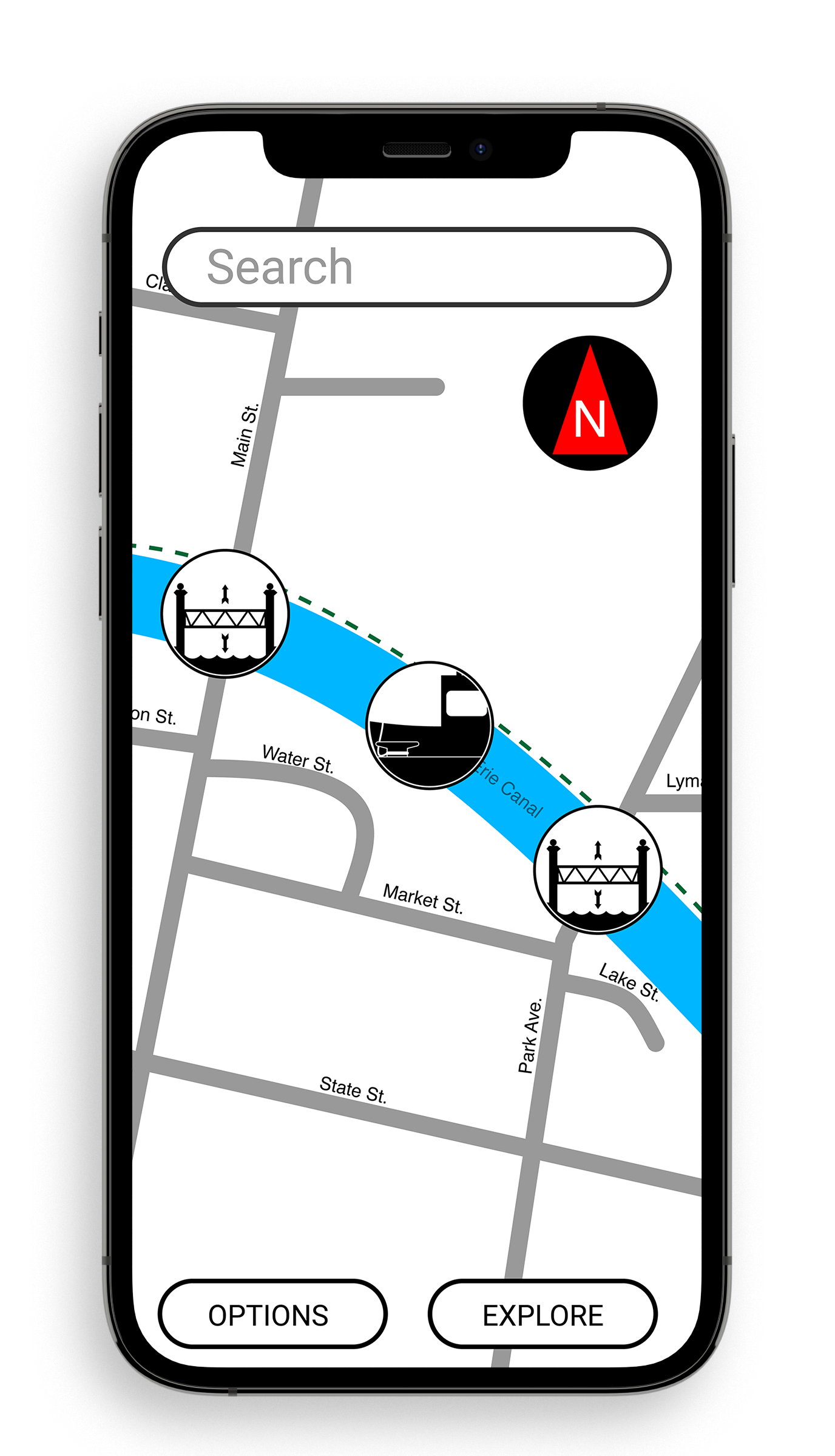
Map — Fairport, NY
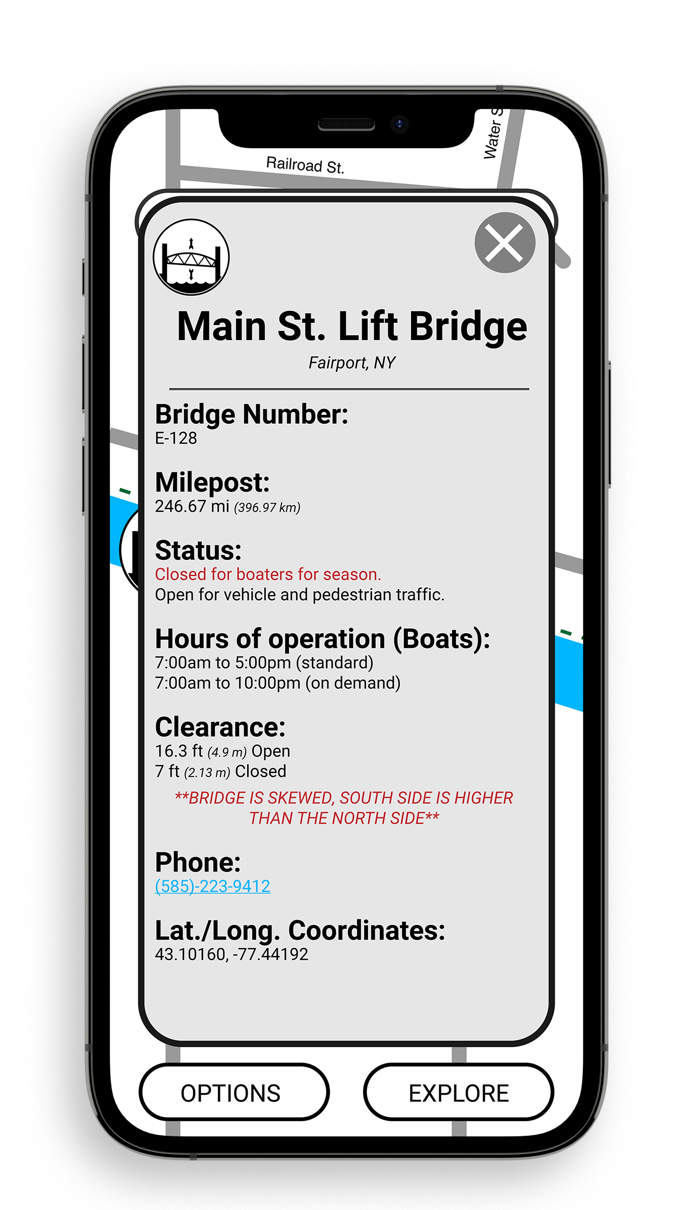
Map — Fairport Lift Bridge Information
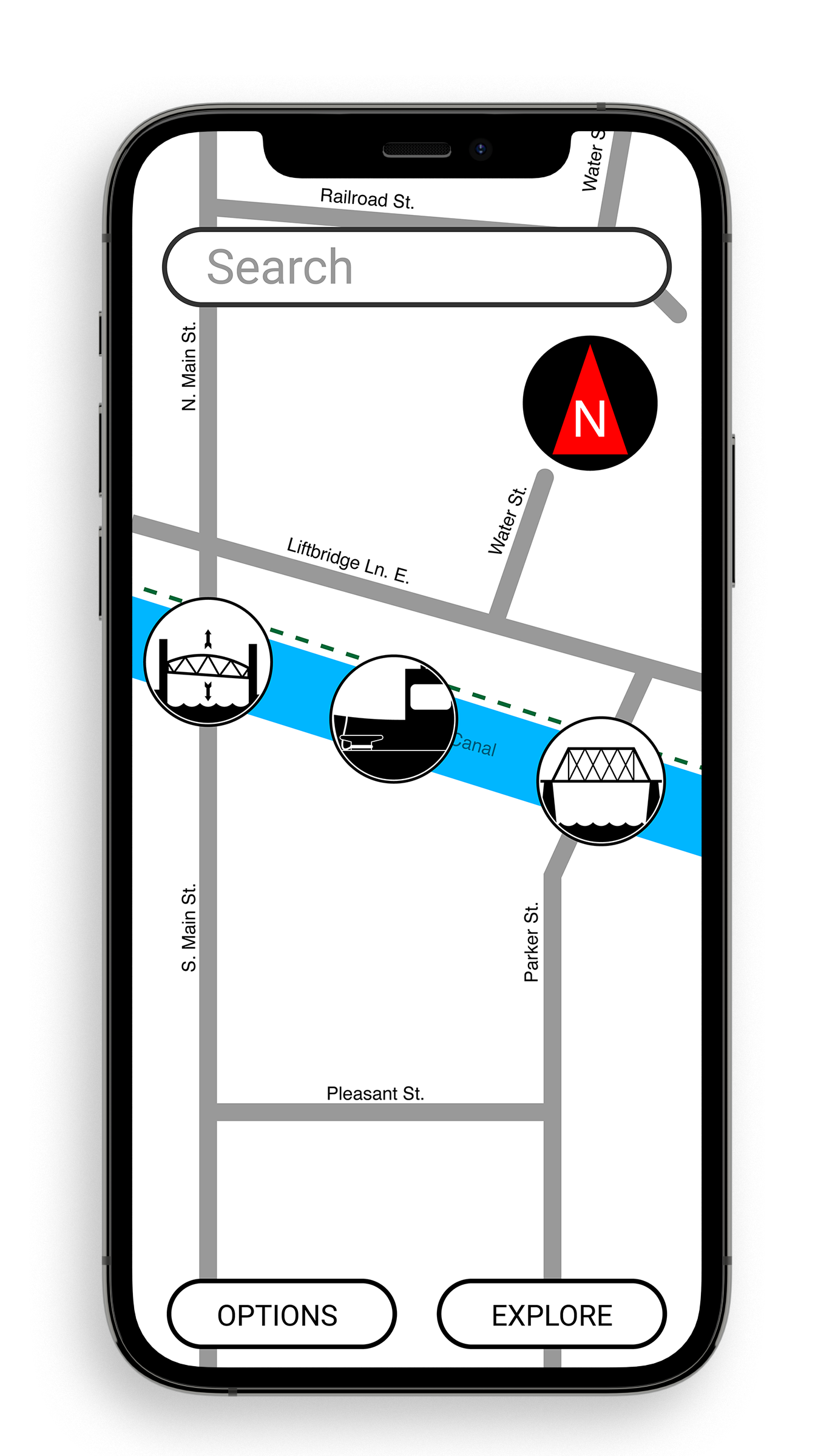
Map — Brockport, NY
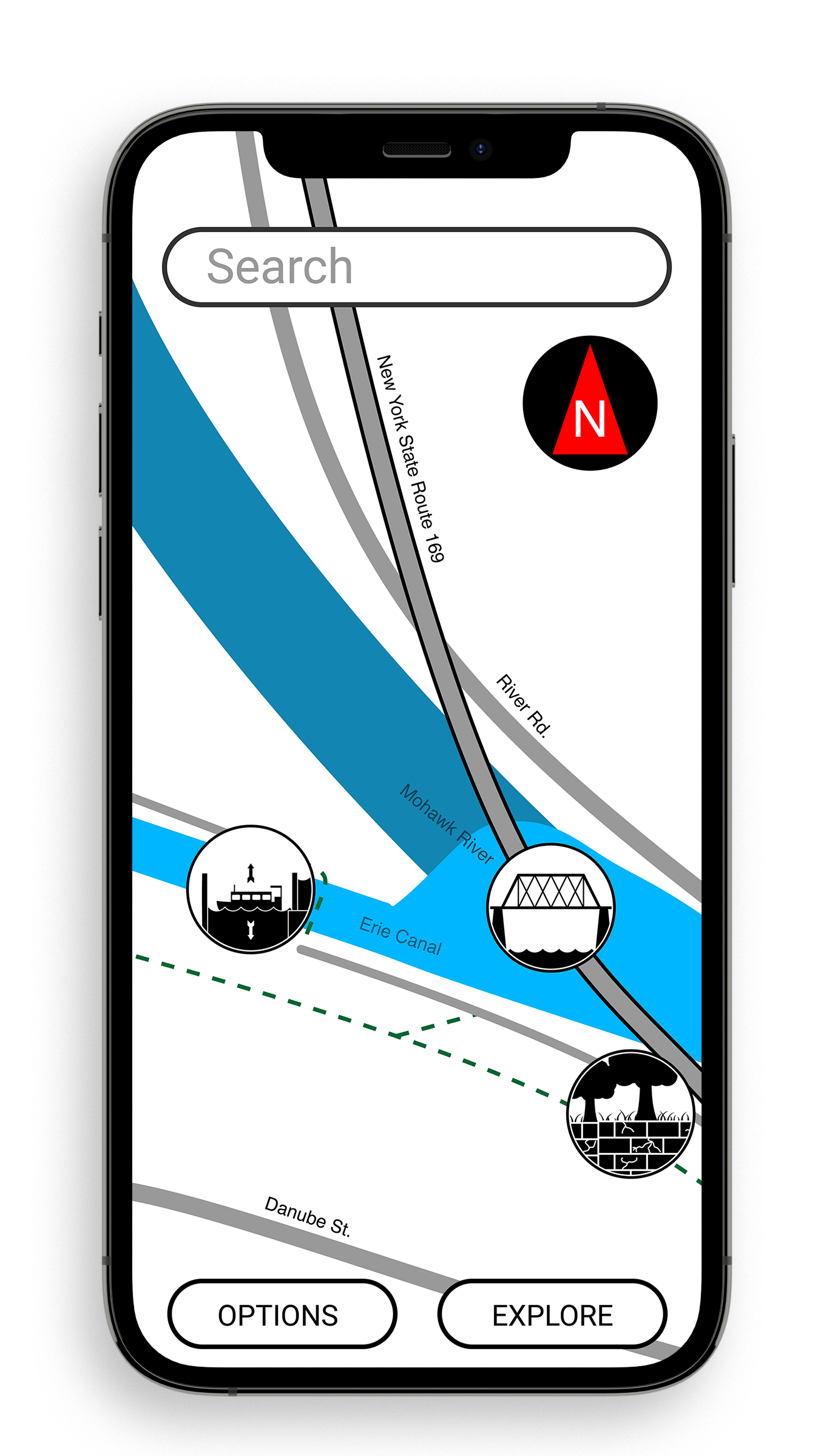
Map — Little Falls, NY
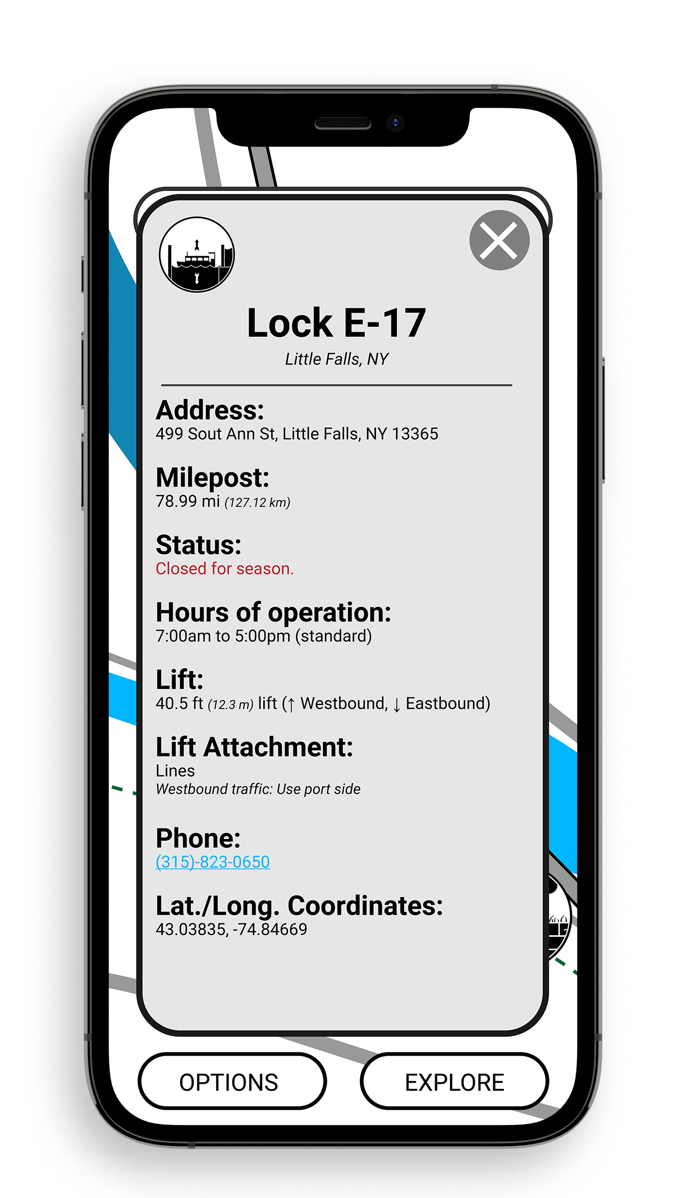
Map — Lock E-17 Information
Sign
For people who use the towpath, the pictograms can be used on signs to point to points of interests and tell how far they are from it. Signs are in both the imperial and metric system.
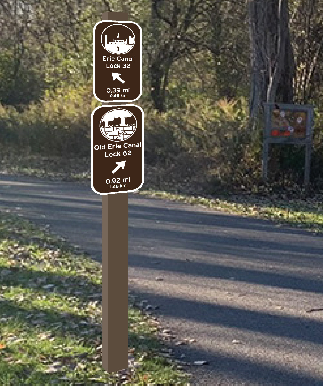
Sign — Near Old Lock E-62, Pittsford, NY
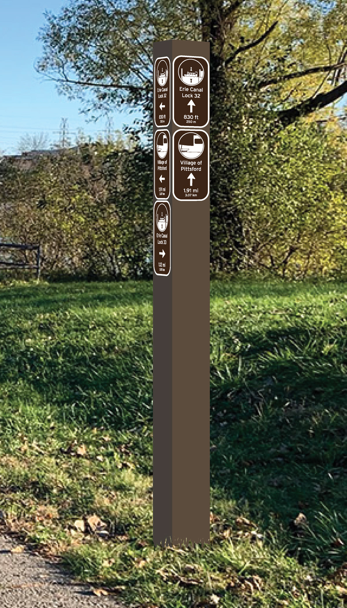
Sign — Lock 32 Canal Park, Pittsford, NY
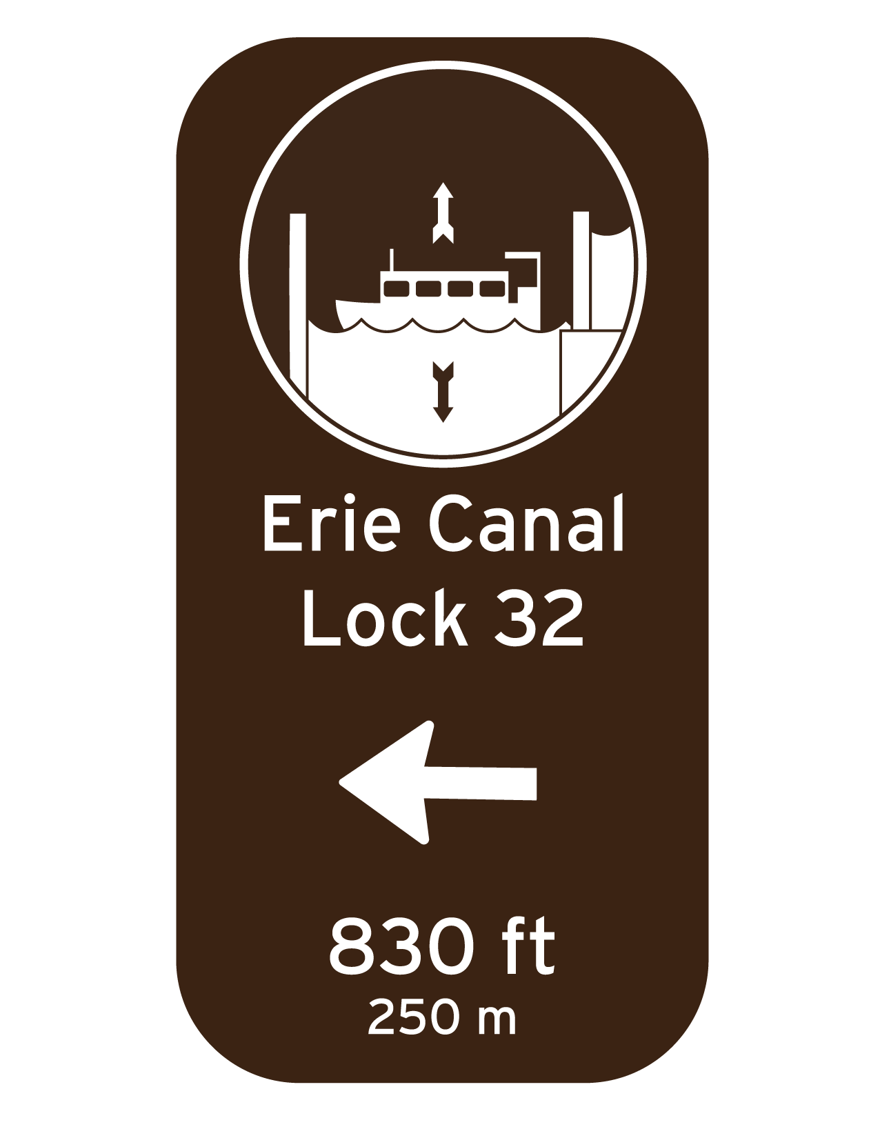
Sign — Canal Lock 32
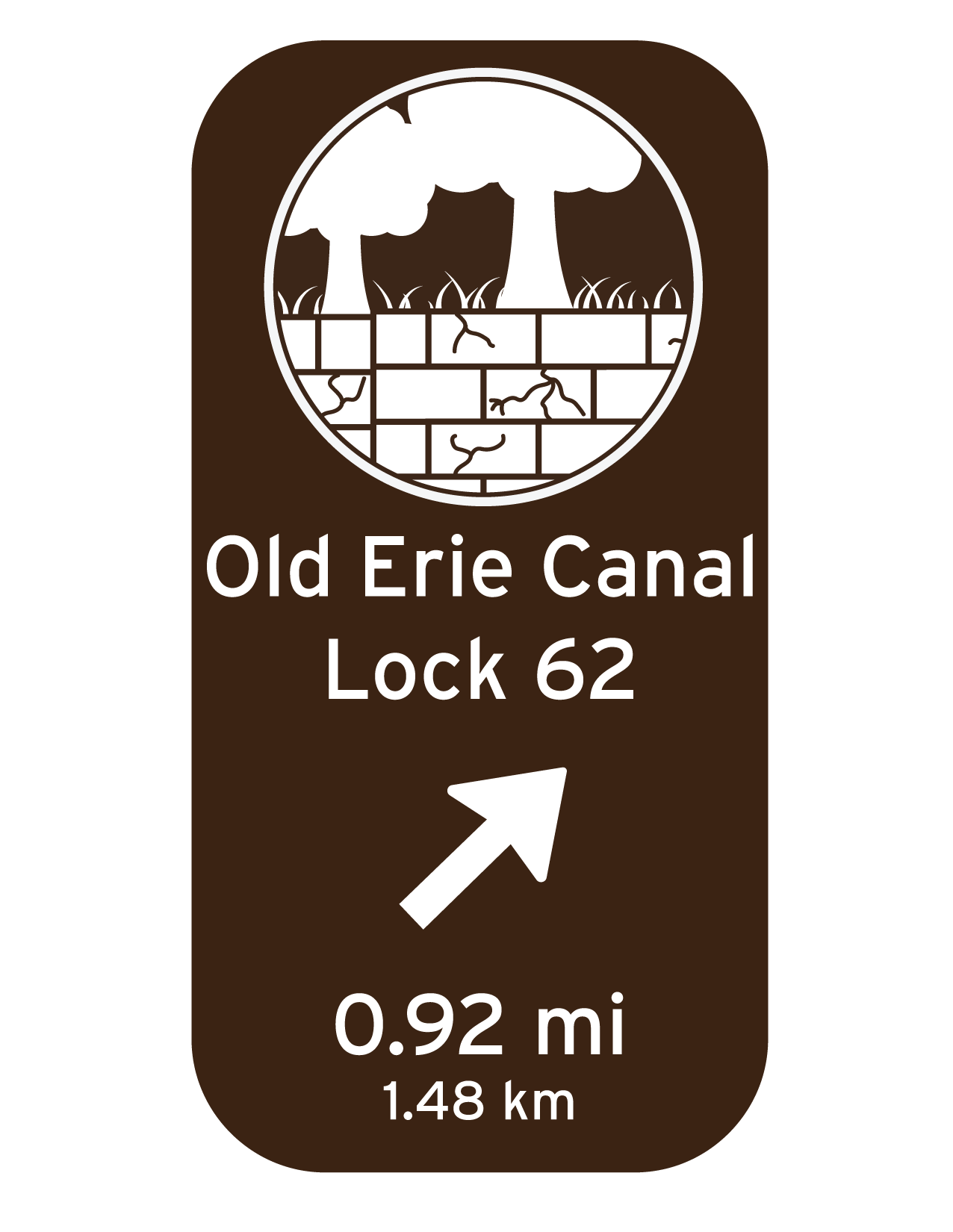
Sign — Old Erie Canal Lock 62
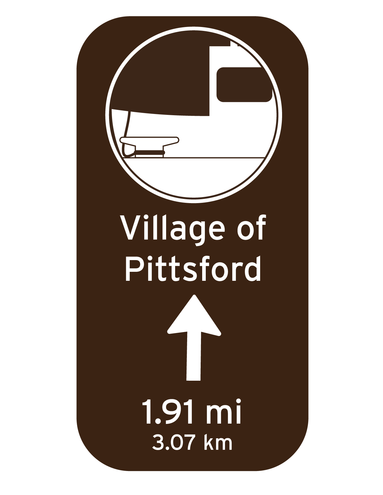
Sign — Village of Pittsford
Development
A selection of early sketches for the pictograms, including pictograms that I didn't end up using. You can also see different variations of similar pictograms.