The project
Below is the updated park map that was based off the original 2022 map that I created, updated to feature updated trails, updated descriptions, as well as other features to help the user experience, whenever they are a returning resident, or someone visiting for the first time.
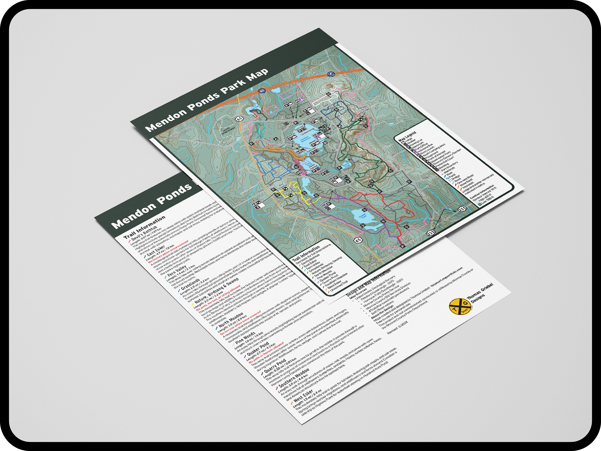
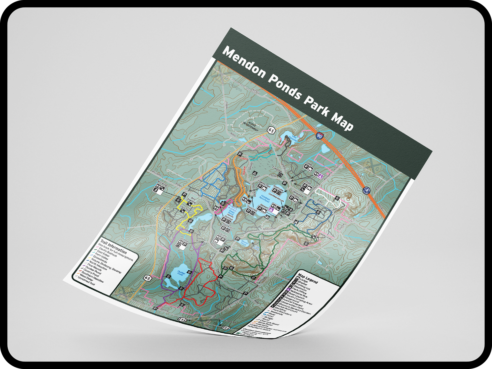
Front of the map - featuring the map
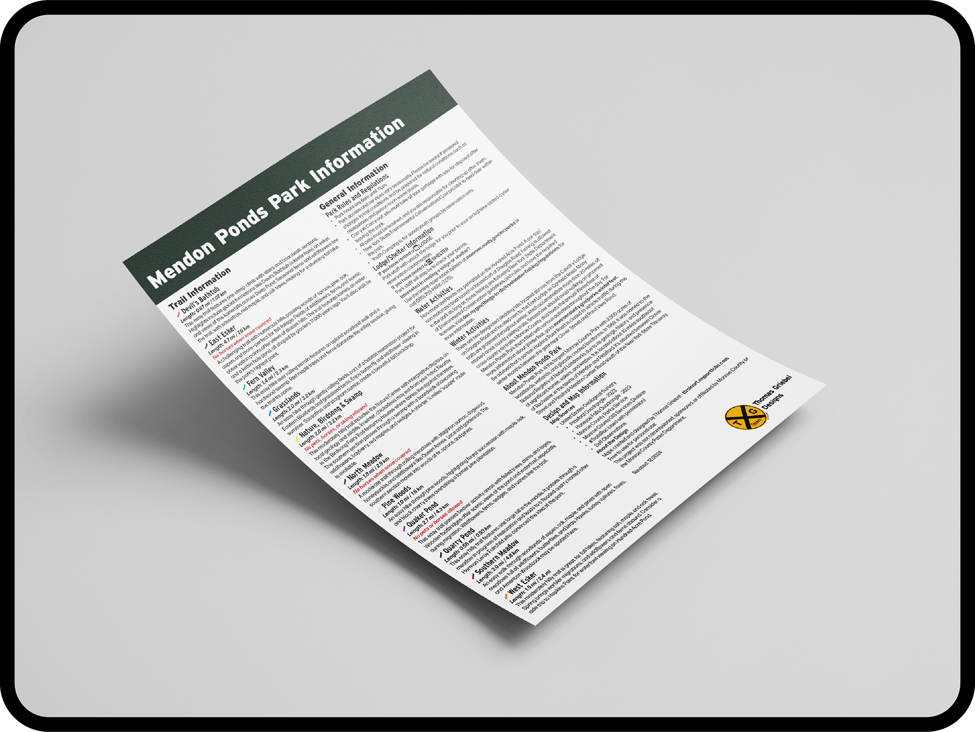
Back of the map - featuring park information such as trails, rules, activities, and more.
Users viewing the map electronically are able to show and hide layers, so more of the actual can easily be seen when needed with just the tap of a button, as well as brought back in just a tap (may not work for all PDF viewer applications/apps).
In this example, the user hid the layers for the Pictograms and Road Names in Adobe Acrobat, allowing more of the actual map to be seen.
Click on the button to see the full thing as a PDF! You can even print it if you wish! Unlike the 2022 version, this one now fits on a standard 8.5 x 11 sheet of paper!
Comparison - 2022 to Now
Here is a comparison between the 2022 versions and now.
Comparison between the fronts of the 2022 trail and park map vs the current park map I made.
Comparison between the backs of the 2022 trail and park map vs the current park map I made.
Additional Screenshots


Disclaimer: This project was not commissioned, sponsored, or affiliated by Monroe County or the Monroe County Parks Department.